Search

Items tagged with: GoogleMaps


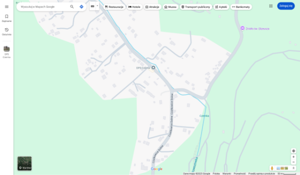
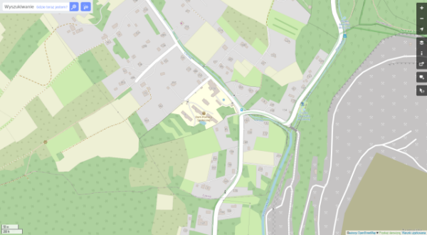
1-x Do you marvel at how #OpenStreetMap or #GoogleMaps can show you the street pattern, all the way to individual houses, of any random village?

Before the age of internet mapping this required a paper map. As most people did not have easy access to detailed maps (house level maps often not available at all) we had a very different view of the world outside our direct area.

This is why I find the history of how the Soviet Union mapped the world so interesting.

#hobby #maps #mapping #USSR #gis

Series of three maps showing one connected area. It's a pre-world-war-2 situation of the Billund area in Denmark. 

Our house is on there. So are some houses that got demolished before the map was published.. And there's one small road missing. These three maps probably contain information of the real world over a ten to 15 year period: making them lack certain information. For the uninitiated user this might give a false sense of accuracy.

In practice though, these omissions are not hard to deal with, and on a paper map that's otherwise high-quality (seriously, the geo-referencing is amazing) can easily be edited in on the spot by an administrator etc.