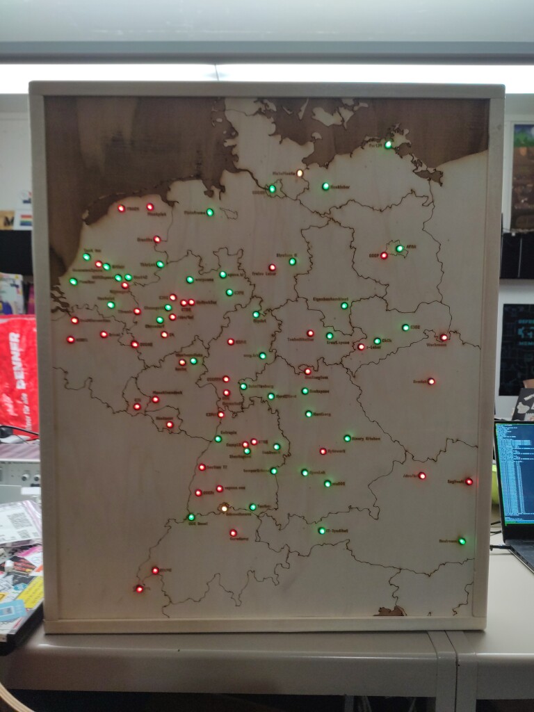
This week I finally finished a project I've been working on for the last few weeks: A map, laser-engraved into a ca. 60x70 cm piece of plywood, showing the @spaceapi opening states of hackerspaces in central Europe using red/green LEDs. All of that in a nice wooden frame, now on the wall at @CCCBasel.

Details on the project can be found in our Wiki (in German): https://wiki.ccc-basel.ch/index.php/SpaceAPI-Karte
or in the git repository (in English): https://git.kabelsalat.ch/s3lph/spaceapi-led-map/

#spaceapi #spacemap #map

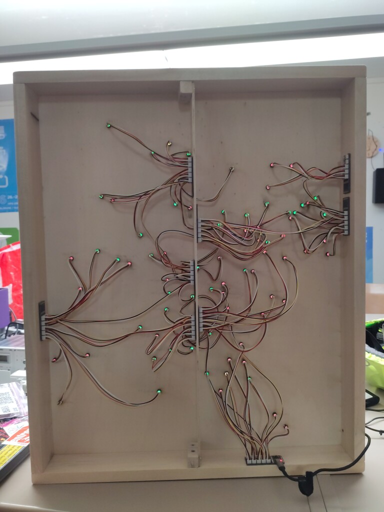
A map of a part of Europe (predominantely DE, CH, AT, CZ, NL, BE, LU) laser-engraved into plywood, mounted in a wooden frame. There is a total of 83 LEDs in the map, each labeled with the name of a hackerspace in that location. The LEDs glow either green or red, depending on whether the corresponding hackerspace is currently open or closed. The map viewed from the back, showing the PCBs and cabling. There are 9 small PCBs mounted to the wooden frame of the map at different locations. The PCBs are connected to each other, and each PCB connects to up to 10 LEDs. The first PCB in the bottom right additionally holds an ESP32 microcontroller, to which a USB cable is connected.
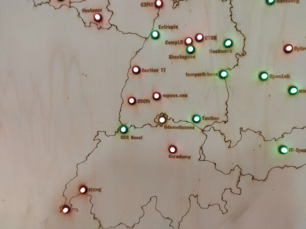
A detail view of a map laser-engraved into plywood, showing the area of Switzerland, south-western Germany and northeastern France. In the map there are multiple circular LEDs, each in a small black socket, glowing either green or red. Next to each LED there is the name of a hackerspace engraved into the wood. The colors of the LEDs indicate whether the corresponding LED is currently open or closed.
⇧